25°12'0" N
78°3'0" W
~0m asl
08:01 (EDT - UTC/GMT--4)
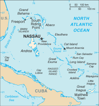
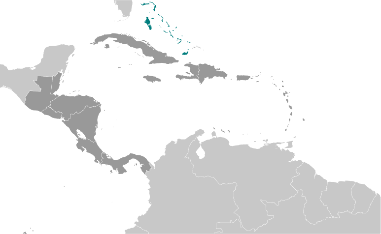
Golding Cays (Golding Cays) este un/o insule (class T - Hypsographic) în Nichollstown and Berry Islands District (Nichollstown and Berry Islands), Bahamas (North America), având codul de regiune Americas/Western Europe...
Coordonatele sale sunt 25°12'0" N şi 78°3'0" W în format DMS (grade, minute, secunde) sau 25.2 şi -78.05 (în grade zecimale). Poziţia sa UTM este QH99 iar referinţa Joint Operation Graphics este NG17-12.
Ora locală curentă este 08:01; soarele răsare la 07:54 şi apune la 20:01, ora locală (America/Nassau UTC/GMT-4). Fusul orar standard pentru Golding Cays este UTC/GMT-5, însă, deoarece se aplică ora de vară (DST), fusul orar actual este UTC/GMT-4.
În 2024, ora de vară este valabilă de la 10 Mar 2024 până la 3 Nov 2024.
Insule este intinderi de pamant, mai mici decat un continent, inconjurate de ape adanci.
|
Advertisements:
Advertisements:
|
Vremea Golding Cays (Nebulozitate, Temperatură, Vânt si Precipitaţii mm probab.)
Fri
Apr 26
22 °C min
25 °C max
29 km/h
Thu Jan 1
|
Sat
Apr 27
~1 l/m2 46%
23 °C min
25 °C max
37 km/h
Thu Jan 1
|
Sun
Apr 28
~1 l/m2 43%
23 °C min
25 °C max
40 km/h
Thu Jan 1
|
Mon
Apr 29
~5 l/m2 44%
22 °C min
25 °C max
36 km/h
Thu Jan 1
|
Tue
Apr 30
~2 l/m2 23%
23 °C min
26 °C max
34 km/h
Thu Jan 1
|
Wed
May 1
23 °C min
26 °C max
24 km/h
Thu Jan 1
|
|
|
Golding Cays (Nichollstown and Berry Islands District) prognoza pe 7 zile
Harta si Fotografii Golding Cays
--- Nu exista niciun comentariu ---
Adauga un comentariu:
|
Login
Bahamas (Nassau):
Advertisement
Puncte GPS langa Golding Cays
Puncte GPS din Bahamas (Nassau)
 Fish Cay Nichollstown And Berry Islands District
|

 Hog Cay (1 km)
  Money Point (3 km)
  Morgan Bluff (4 km)
  Morgan's Bluff (4 km)
  Morgan's Bluff (4 km)
  Lowe Sound (5 km)
  Water Cay (8 km)
  Lowe Sound (8 km)
  Nicholls Town (8 km)
  Nicolls Town (8 km)
  Nicols Town (8 km)
  Bethel Channel (10 km)
  Long Cay (10 km)
  Candle Cays (11 km)
  Cocoa-nut Point (11 km)
  Coconut Point (11 km)
  Conch Sound (11 km)


